Census geographic files
Related topics
Other websites
Click on a tab below to access geographic data. Some of the data files are large and may require additional time to download.
Select 2020 Census geographic files derived from Census 2020 TIGER/Line files.
| Summary Level | GIS Shapefile |
Preview | Metadata |
|---|---|---|---|
| Address range features | 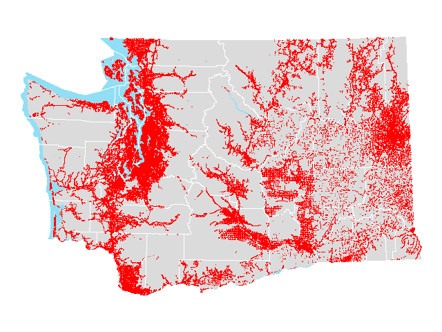 |
||
| Census blocks | 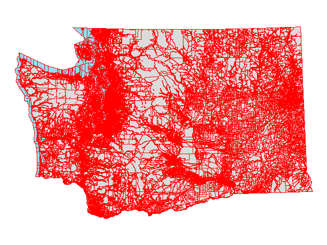 |
||
| Census block groups |  |
||
| Census designated places | 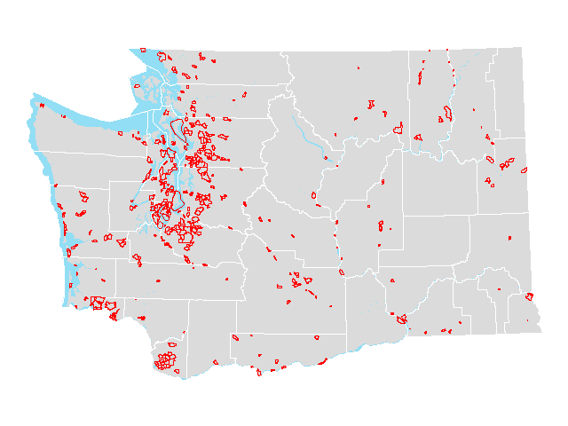 |
||
| Census places | 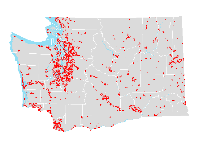 |
||
| Census places (county parts) |  |
||
| Census tracts | 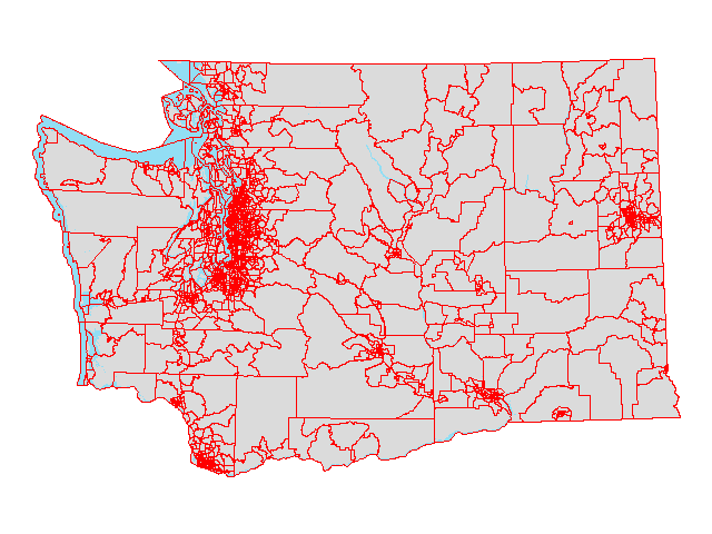 |
||
| Cities | 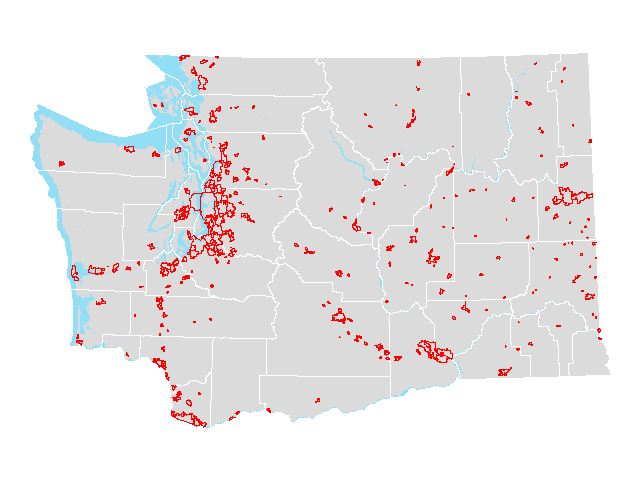 |
||
| Cities (county parts) |  |
||
| Congressional districts [2012] | 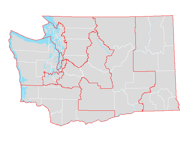 |
||
| Congressional districts [2012] (county parts) |  |
||
| Congressional districts [2022] |  |
||
| Congressional districts [2022] (county parts) |  |
||
| Counties |  |
||
| County subdivisions |  |
||
| Legislative districts [2012] |  |
||
| Legislative districts [2012] (county parts) | 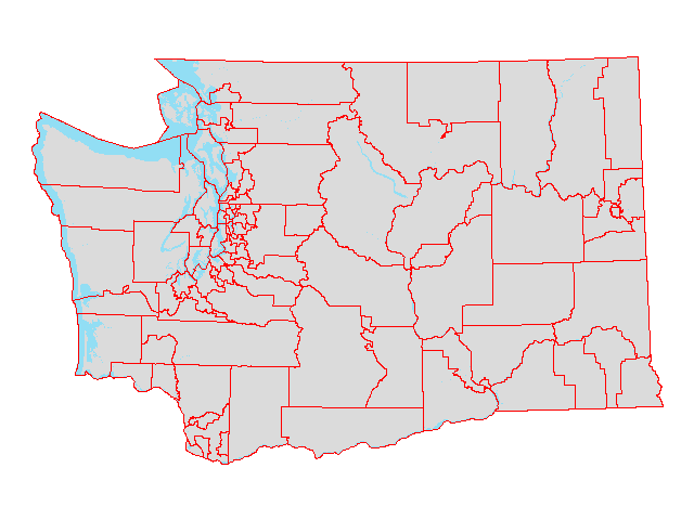 |
||
| Legislative districts [2022] | 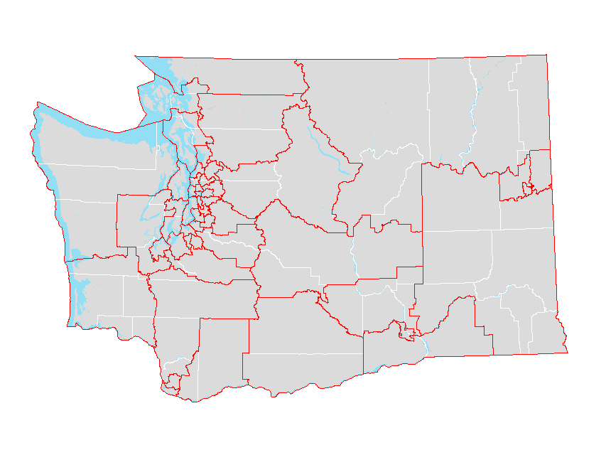 |
||
| Legislative districts [2022] (county parts) | 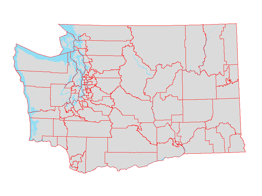 |
||
| Military installations | 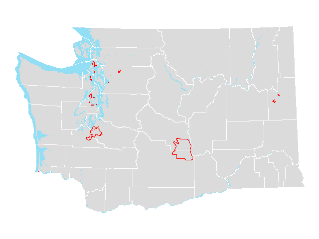 |
||
| Public Use Microdata Areas (PUMA) | 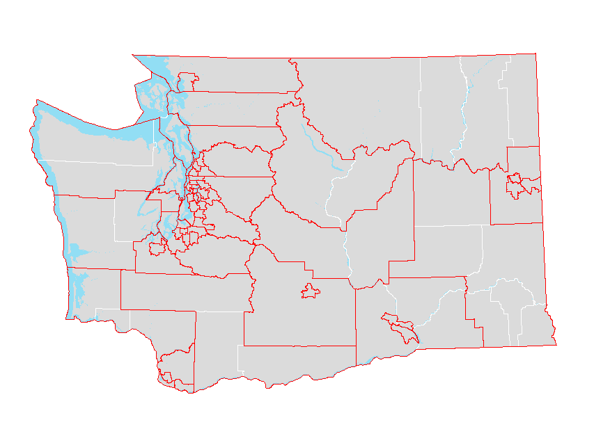 |
||
| Roads | 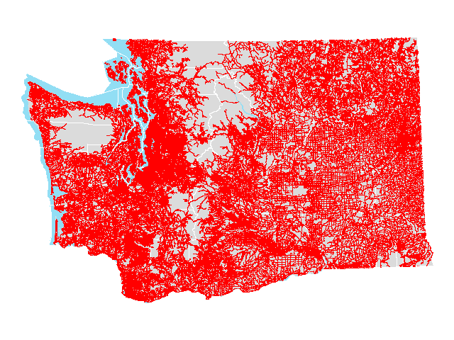 |
||
| School districts | 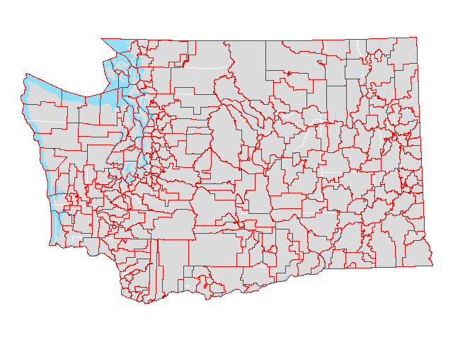 |
||
| School districts (county parts) | 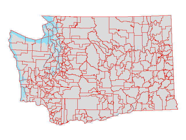 |
||
| State | 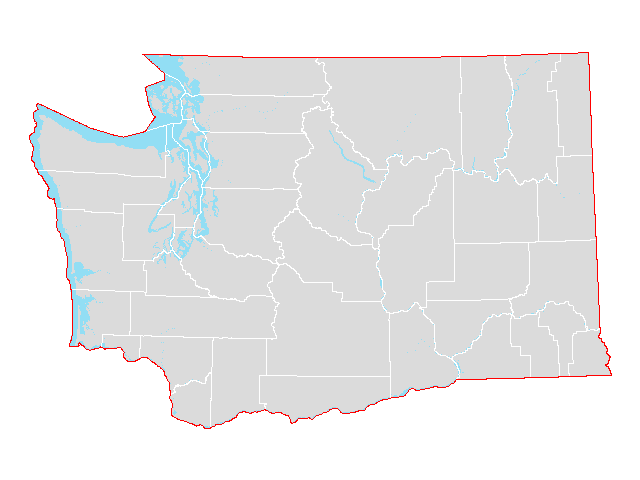 |
||
| Tribal areas | 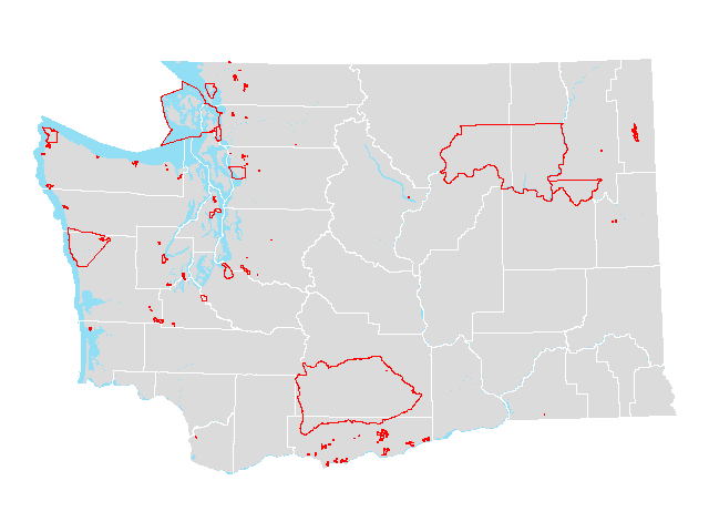 |
||
| Tribal block groups | 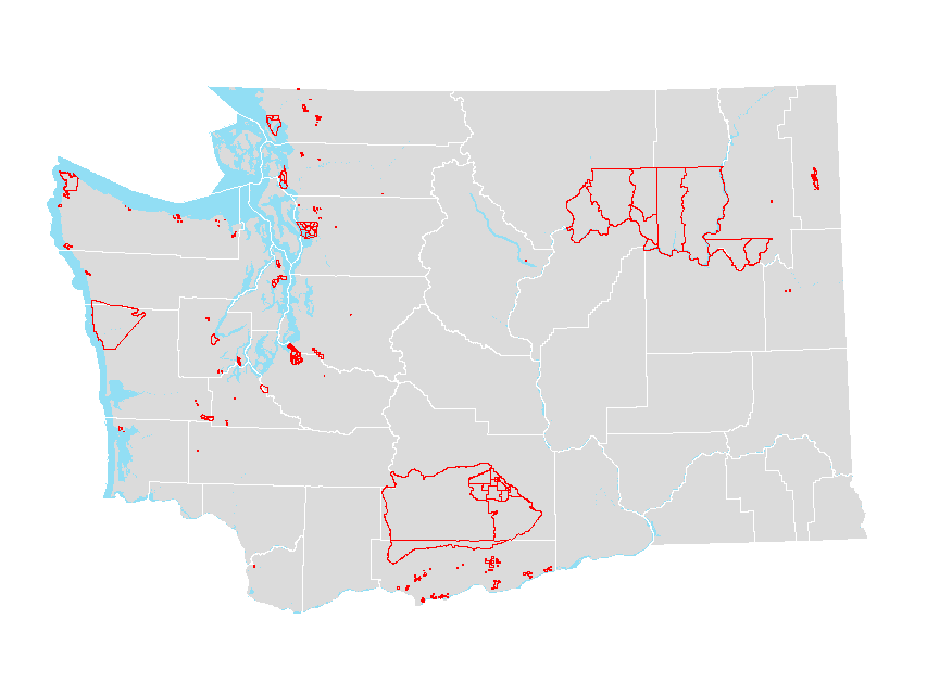 |
||
| Tribal census tracts |  |
||
| Urban areas |  |
||
| Urban areas (county parts) |  |
||
| Urban growth areas |  |
||
| Urban growth areas (county parts) |  |
||
| Voting districts |  |
||
| Water features |  |
||
| Zip Code Tabulation Areas |  |
||
| Zip Code Tabulation Areas (county parts) |  |
Select 2010 Census geographic files derived from Census 2010 TIGER/Line files. Includes select population and housing variables from the 2010 Census.
| Summary Level | GIS Shapefile |
Preview | Metadata |
|---|---|---|---|
| Census blocks | 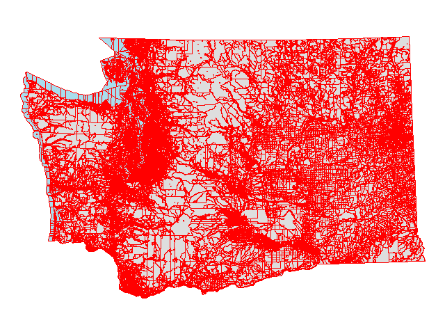 |
||
| Census blocks (plus race/ethnicity and group quarters data) |  |
||
| Census blocks (points) | 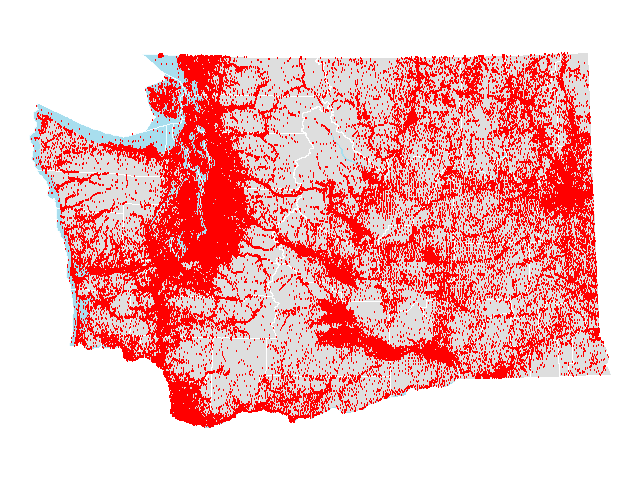 |
||
| Census block groups |  |
||
| Census designated places | 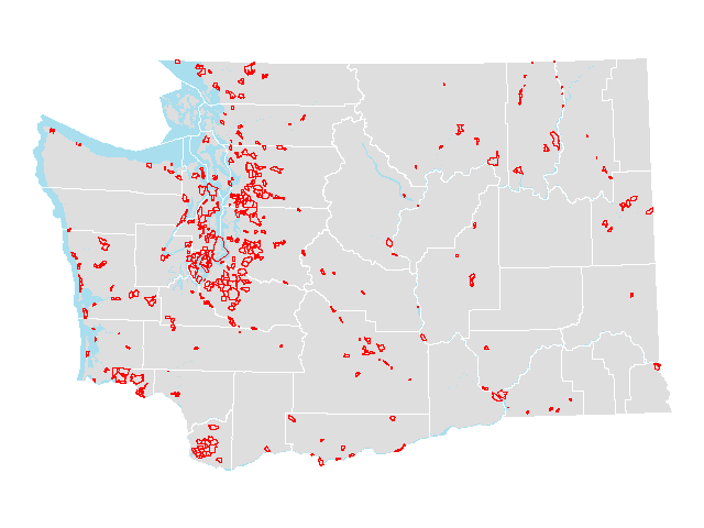 |
||
| Census places | 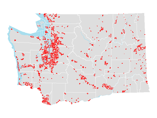 |
||
| Census places (county parts) |  |
||
| Census tracts | 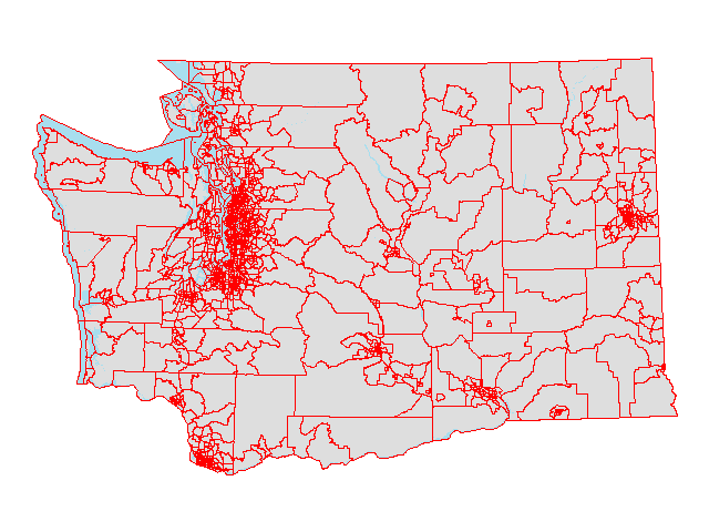 |
||
| Cities |  |
||
| Cities (county parts) |  |
||
| Congressional districts [2002] | 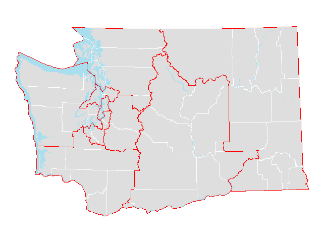 |
||
| Congressional districts [2002] (county parts) |  |
||
| Congressional districts [2012] |  |
||
| Congressional districts [2012] (county parts) |  |
||
| Counties |  |
||
| County subdivisions |  |
||
| Legislative districts [2002] |  |
||
| Legislative districts [2002] (county parts) |  |
||
| Legislative districts [2012] |  |
||
| Legislative districts [2012] (county parts) |  |
||
| Military installations | 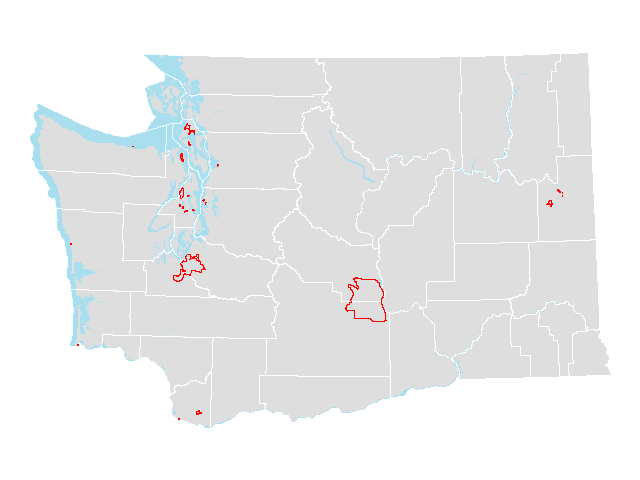 |
||
| Public Use Microdata Areas | 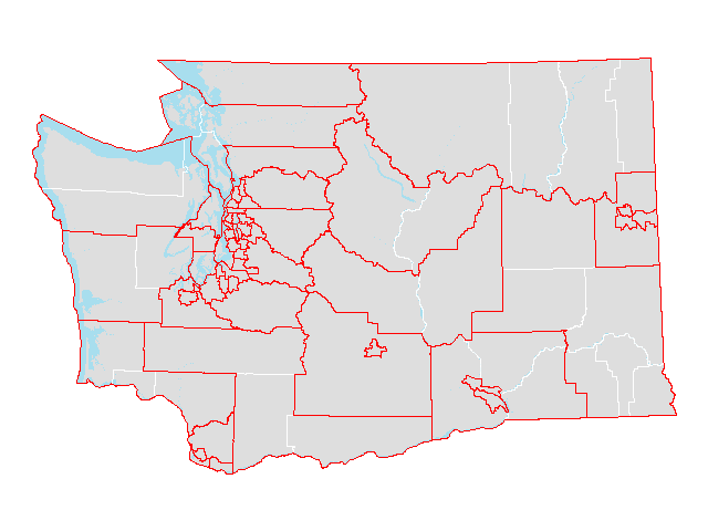 |
||
| Roads | 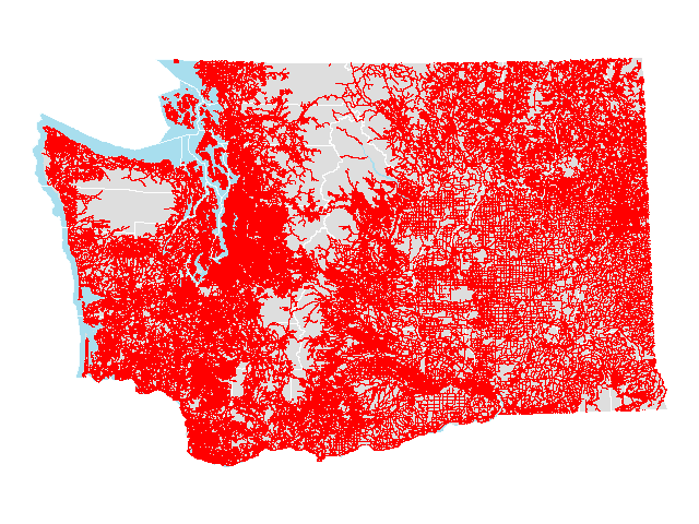 |
||
| School districts |  |
||
| School districts (county parts) |  |
||
| State |  |
||
| Traffic analysis zones | 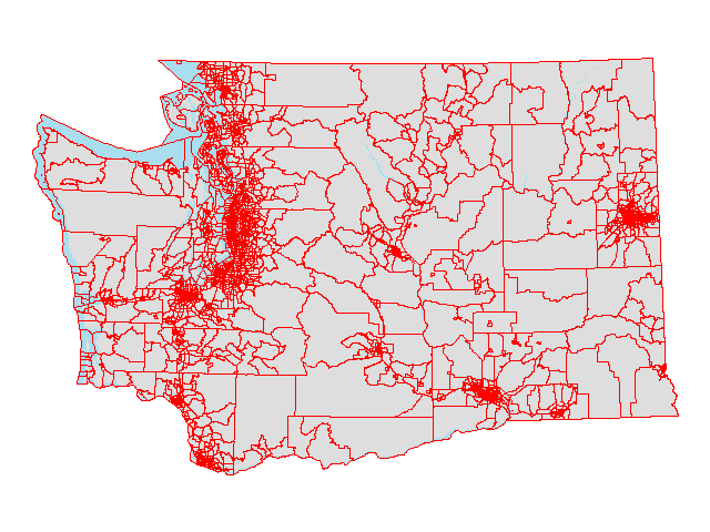 |
||
| Tribal areas |  |
||
| Urban areas |  |
||
| Urban areas (county parts) | 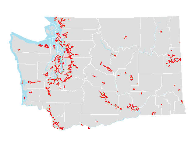 |
||
| Urban growth areas | 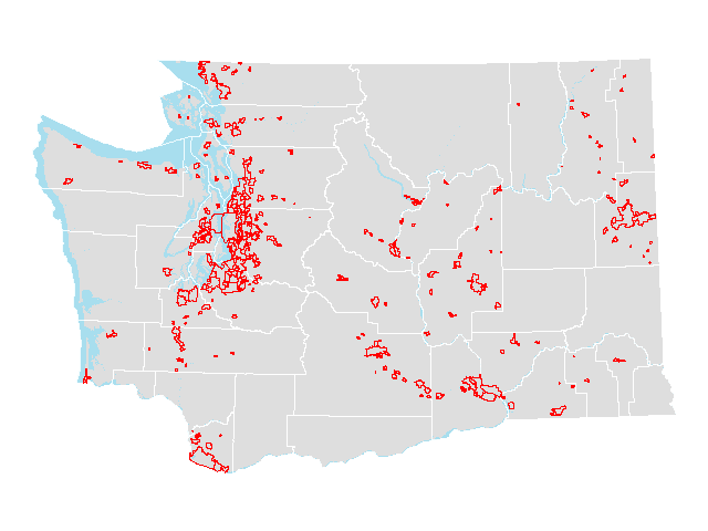 |
||
| Urban growth areas (county parts) |  |
||
| Voting districts | 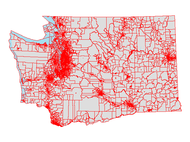 |
||
| Water features |  |
||
| ZIP Code Tabulation Areas | 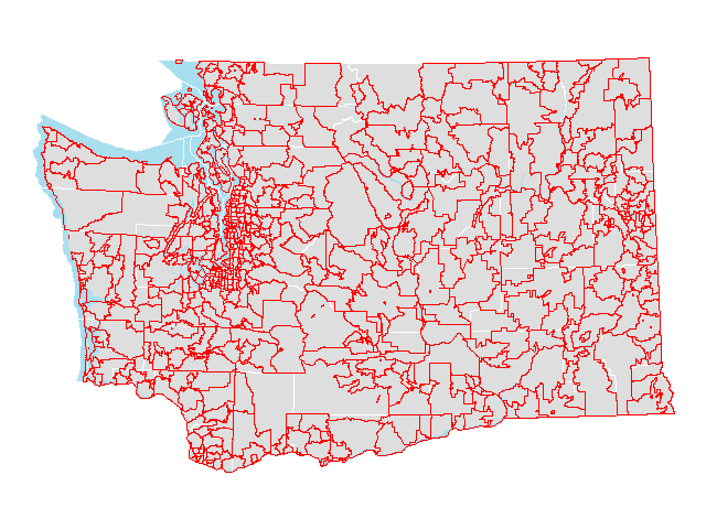 |
||
| ZIP Code Tabulation Areas (county parts) | 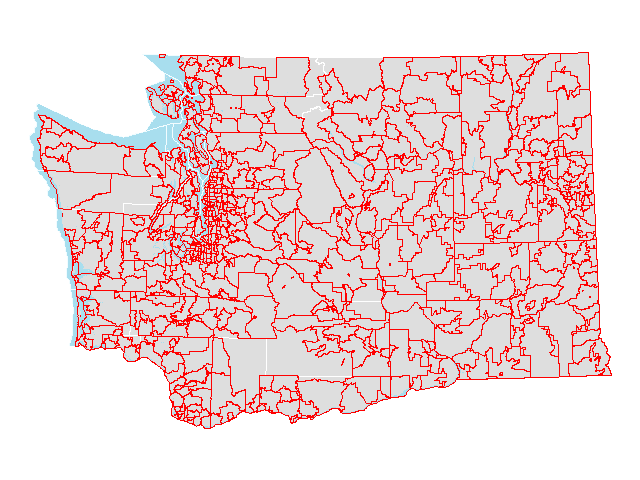 |
Select 2000 Census geographic files derived from Census 2010 TIGER/Line files. Includes select population and housing variables from the 2000 Census.
| Summary Level | GIS Shapefile |
Preview | Metadata |
|---|---|---|---|
| Census blocks | 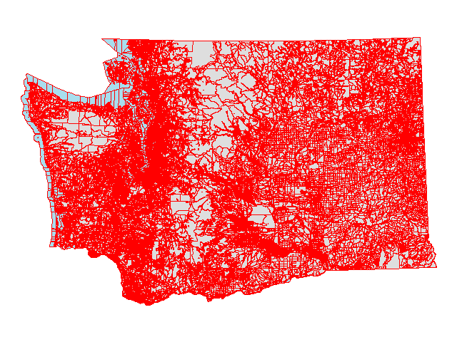 |
||
| Census blocks (points) |  |
||
| Census block groups | 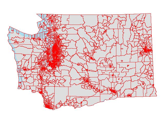 |
||
| Census designated places | 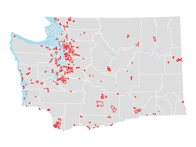 |
||
| Census places | 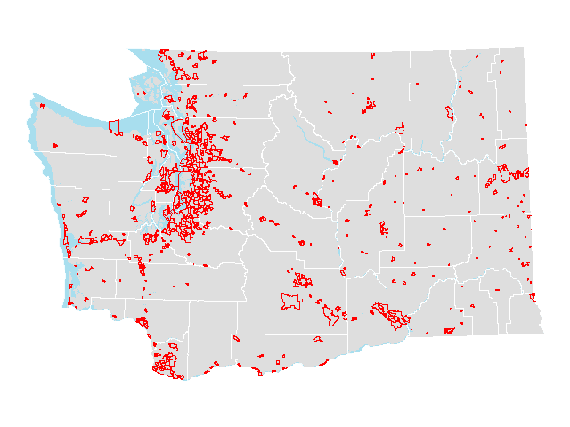 |
||
| Census places (county parts) |  |
||
| Census tracts | 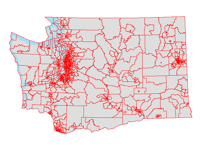 |
||
| Cities |  |
||
| Cities (county parts) | 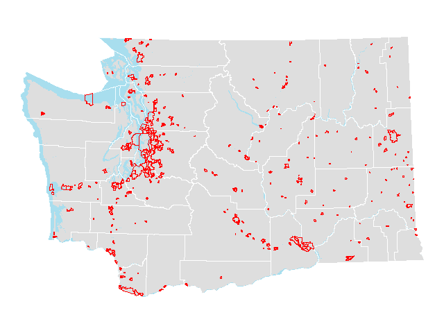 |
||
| Counties | 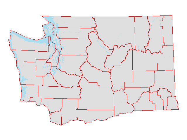 |
||
| County subdivisions |  |
||
| Public Use Microdata Areas (1%) | 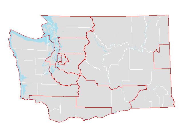 |
||
| Public Use Microdata Areas (5%) | 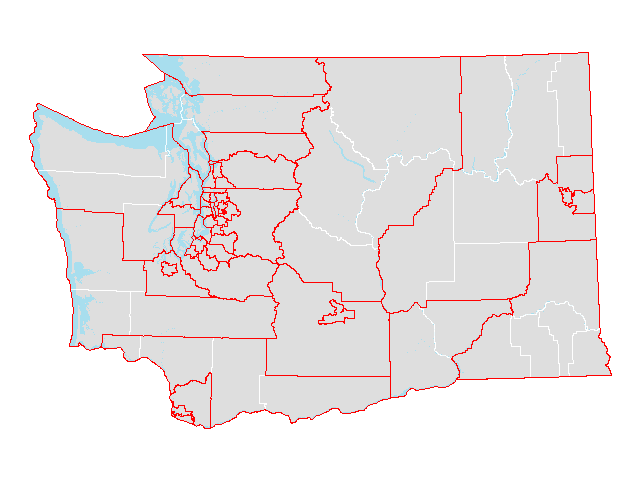 |
||
| School districts |  |
||
| School districts (county parts) | 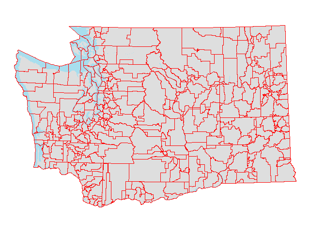 |
||
| State | 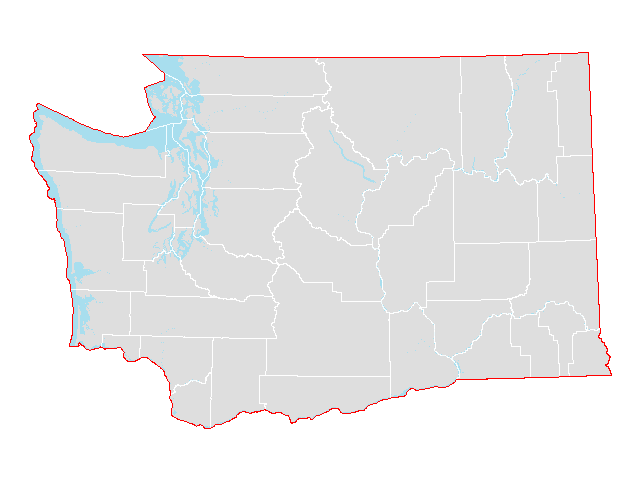 |
||
| Tribal areas | 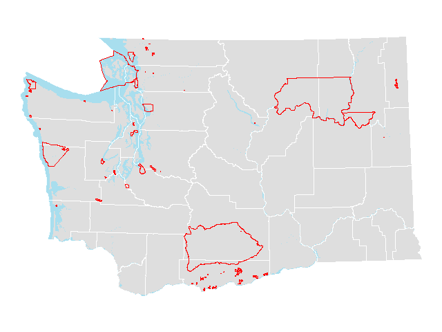 |
||
| Traffic analysis zones | 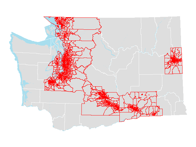 |
||
| Urban areas |  |
||
| Urban areas (county parts) |  |
||
| ZIP Code Tabulation Areas | 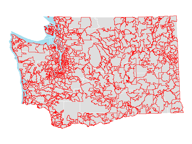 |
||
| ZIP Code Tabulation Areas (county parts) |  |
Reference information
- OFM's standard projection and datum for geospatial data layers is State Plane Washington South, North American Datum 1983 HARN in units of US feet (EPSG: 2927).
- Geographic codes for Washington
Geographic crosswalks
- Census tract relationship files: 1990-2000 | 2000-2010
- Congressional district (by county, city, city part, school district, and ZIP Code tabulation area): 2002 | 2012
- Legislative district (by county, city, city part, school district, and ZIP Code tabulation area): 2002 | 2012
- County (by census place and tract): 2010
GIS map products
- Census reference maps: 2000 | 2010 | 2020
- Federal statistical area maps (metropolitan statistical areas, micropolitan statistical areas, combined statistical areas, metropolitan divisions): October 2018
Last updated
Wednesday, January 31, 2024


