


Home / Data & Research / Population & Demographics / GIS data / Census geographic files
Census geographic files
Click on a tab below to access geographic data. Some of the data files are large and may require additional time to download.
Census 2020
Select 2020 Census geographic files derived from Census 2020 TIGER/Line files.
| Summary Level | GIS Shapefile |
Preview | Metadata |
|---|---|---|---|
| Address range features |  |
||
| Census blocks |  |
||
| Census block groups |  |
||
| Census designated places | 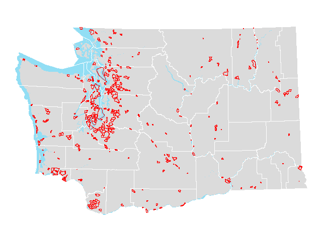 |
||
| Census places |  |
||
| Census places (county parts) |  |
||
| Census tracts |  |
||
| Cities | 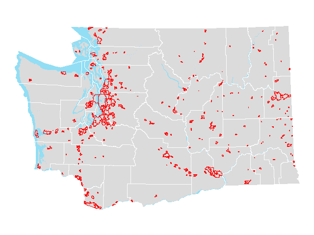 |
||
| Cities (county parts) |  |
||
| Congressional districts [2012] |  |
||
| Congressional districts [2012] (county parts) | 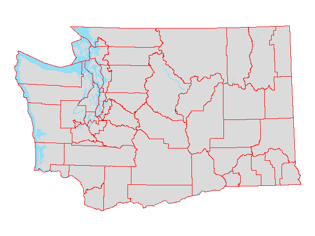 |
||
| Congressional districts [2022] | 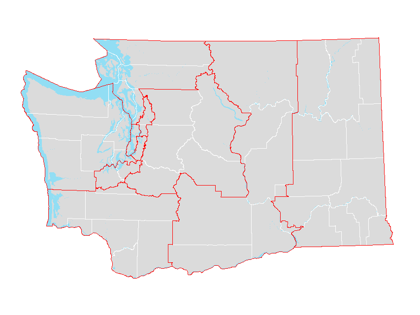 |
||
| Congressional districts [2022] (county parts) | 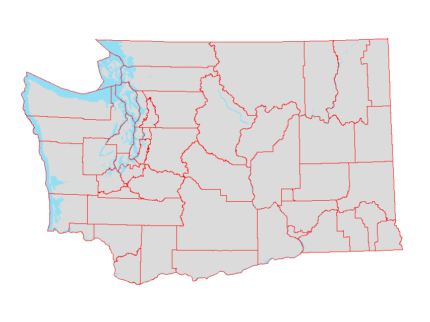 |
||
| Counties |  |
||
| County subdivisions |  |
||
| Legislative districts [2012] |  |
||
| Legislative districts [2012] (county parts) |  |
||
| Legislative districts [2022] | 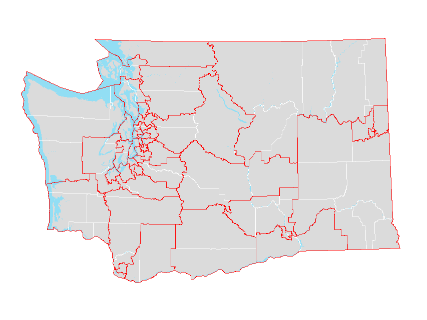 |
||
| Legislative districts [2022] (county parts) |  |
||
| Military installations |  |
||
| Public Use Microdata Areas (PUMA) |  |
||
| Roads |  |
||
| School districts |  |
||
| School districts (county parts) |  |
||
| State | 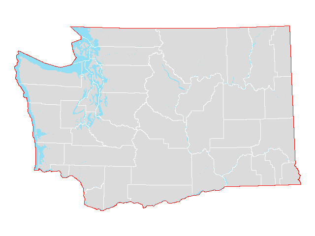 |
||
| Tribal areas |  |
||
| Tribal block groups |  |
||
| Tribal census tracts |  |
||
| Urban areas |  |
||
| Urban areas (county parts) |  |
||
| Urban growth areas |  |
||
| Urban growth areas (county parts) |  |
||
| Voting districts |  |
||
| Water features |  |
||
| Zip Code Tabulation Areas |  |
||
| Zip Code Tabulation Areas (county parts) |  |
Census 2010
Select 2010 Census geographic files derived from Census 2010 TIGER/Line files. Includes select population and housing variables from the 2010 Census.
| Summary Level | GIS Shapefile |
Preview | Metadata |
|---|---|---|---|
| Census blocks |  |
||
| Census blocks (plus race/ethnicity and group quarters data) |  |
||
| Census blocks (points) |  |
||
| Census block groups | 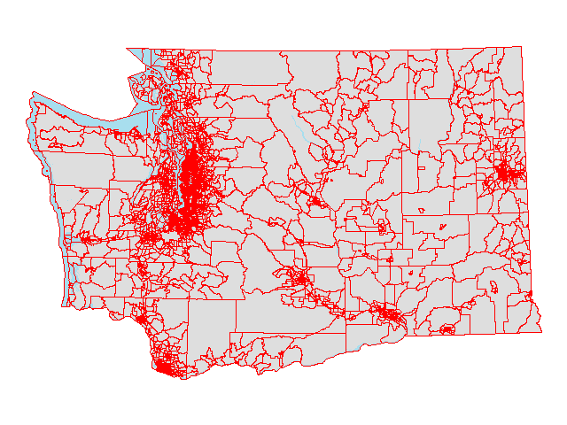 |
||
| Census designated places | 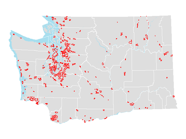 |
||
| Census places |  |
||
| Census places (county parts) |  |
||
| Census tracts | 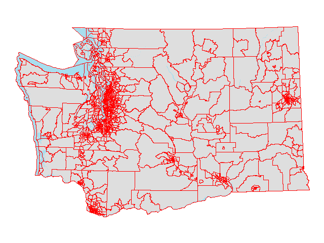 |
||
| Cities |  |
||
| Cities (county parts) | 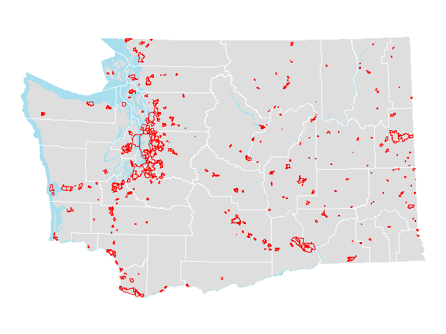 |
||
| Congressional districts [2002] | 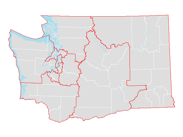 |
||
| Congressional districts [2002] (county parts) | 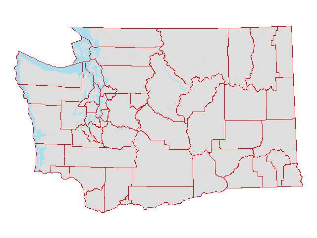 |
||
| Congressional districts [2012] | 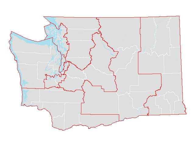 |
||
| Congressional districts [2012] (county parts) | 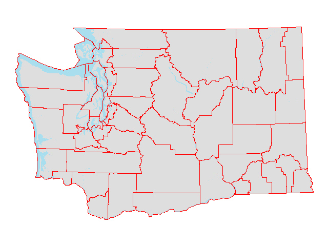 |
||
| Counties |  |
||
| County subdivisions | 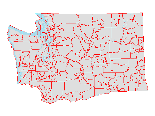 |
||
| Legislative districts [2002] | 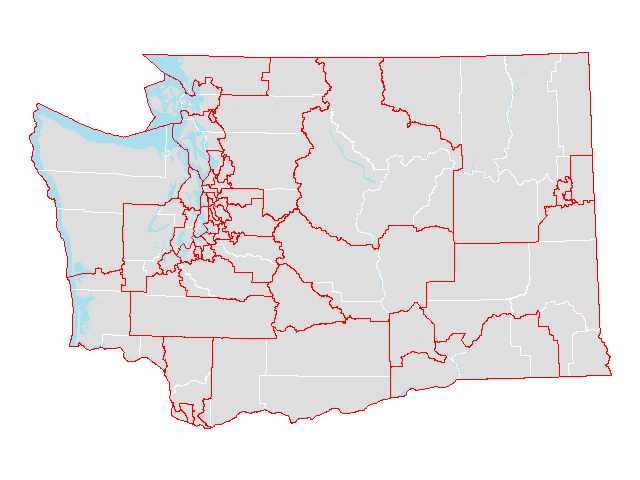 |
||
| Legislative districts [2002] (county parts) | 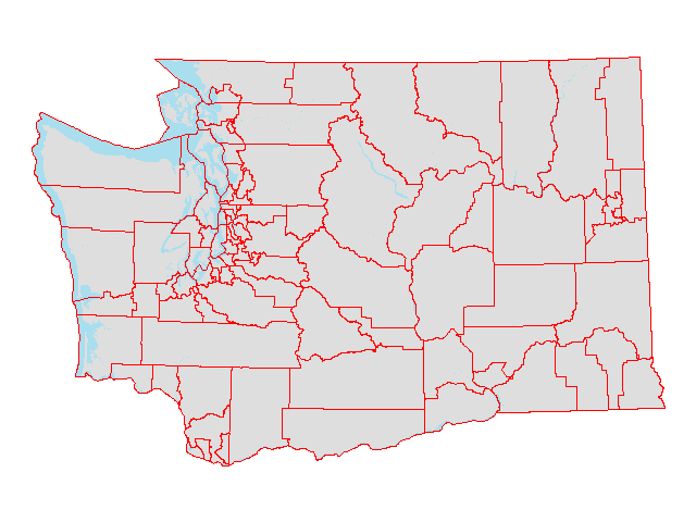 |
||
| Legislative districts [2012] |  |
||
| Legislative districts [2012] (county parts) | 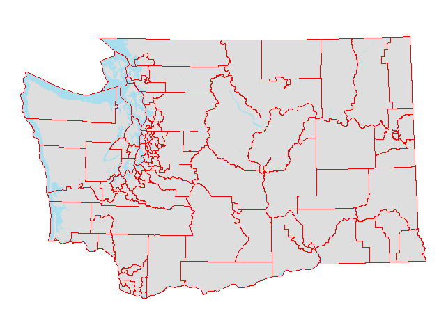 |
||
| Military installations |  |
||
| Public Use Microdata Areas | 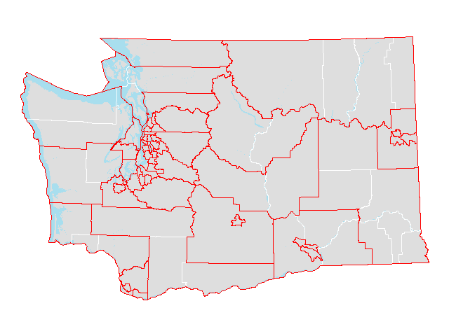 |
||
| Roads | 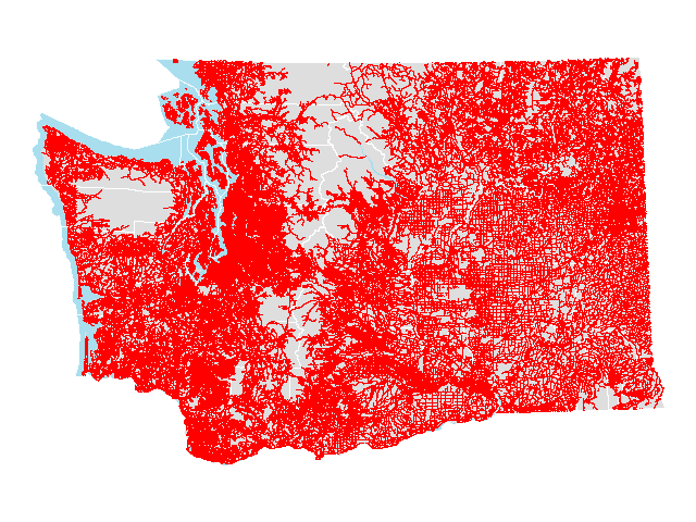 |
||
| School districts |  |
||
| School districts (county parts) | 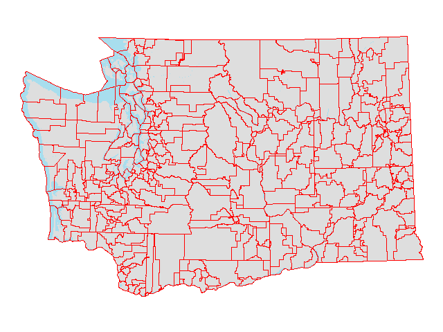 |
||
| State |  |
||
| Traffic analysis zones | 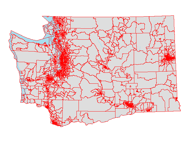 |
||
| Tribal areas |  |
||
| Urban areas | 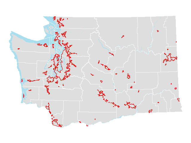 |
||
| Urban areas (county parts) |  |
||
| Urban growth areas | 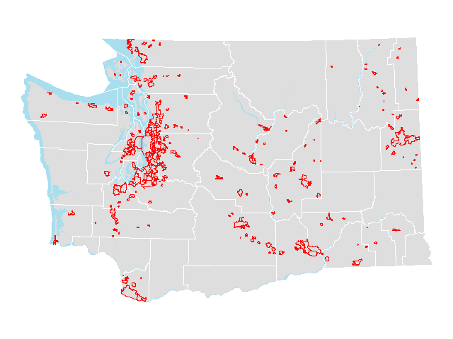 |
||
| Urban growth areas (county parts) |  |
||
| Voting districts | 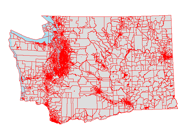 |
||
| Water features | 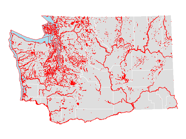 |
||
| ZIP Code Tabulation Areas | 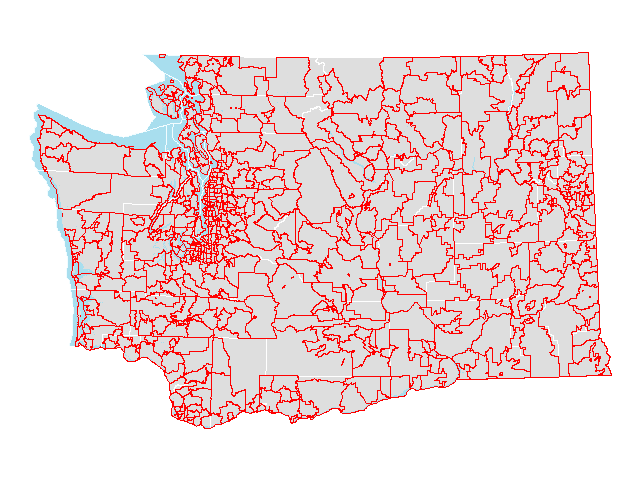 |
||
| ZIP Code Tabulation Areas (county parts) | 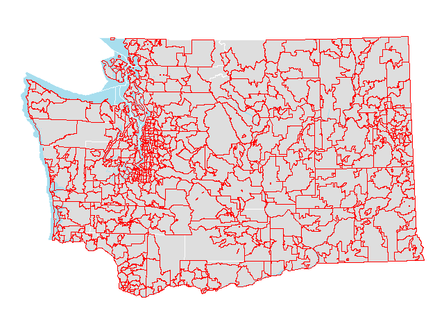 |
Census 2000
Select 2000 Census geographic files derived from Census 2010 TIGER/Line files. Includes select population and housing variables from the 2000 Census.
| Summary Level | GIS Shapefile |
Preview | Metadata |
|---|---|---|---|
| Census blocks | 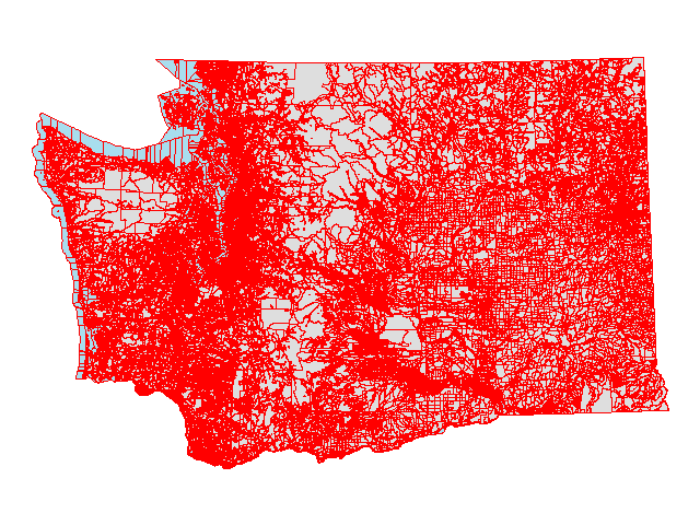 |
||
| Census blocks (points) |  |
||
| Census block groups | 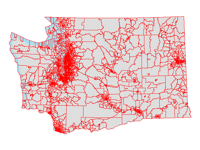 |
||
| Census designated places | 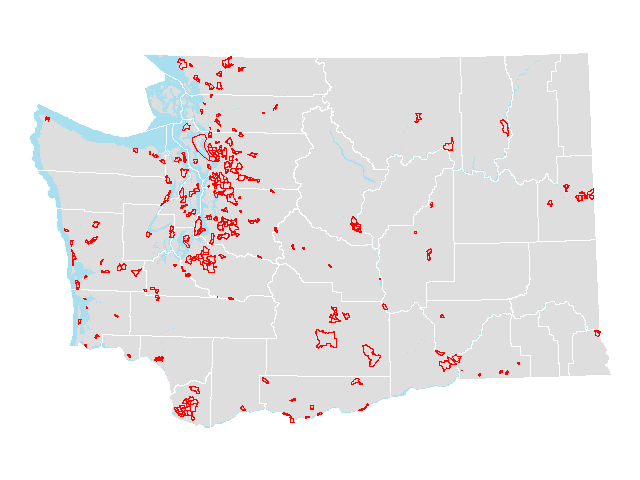 |
||
| Census places |  |
||
| Census places (county parts) |  |
||
| Census tracts | 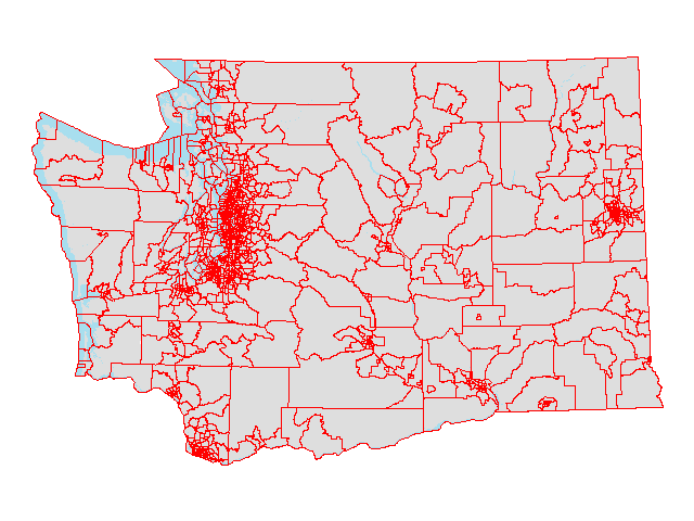 |
||
| Cities |  |
||
| Cities (county parts) |  |
||
| Counties |  |
||
| County subdivisions |  |
||
| Public Use Microdata Areas (1%) | 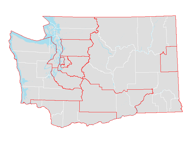 |
||
| Public Use Microdata Areas (5%) | 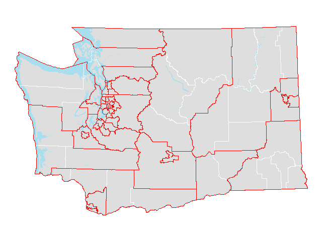 |
||
| School districts | 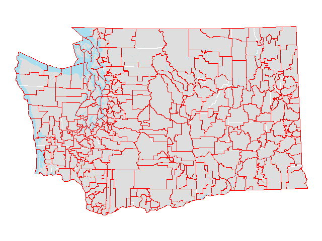 |
||
| School districts (county parts) |  |
||
| State | 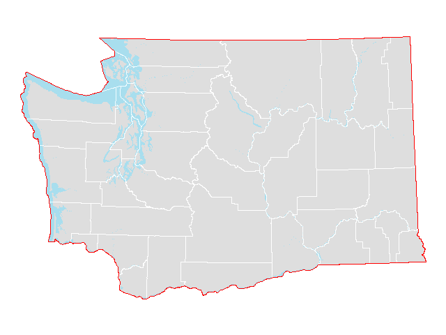 |
||
| Tribal areas |  |
||
| Traffic analysis zones | 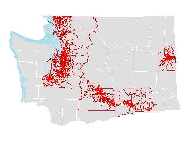 |
||
| Urban areas |  |
||
| Urban areas (county parts) |  |
||
| ZIP Code Tabulation Areas | 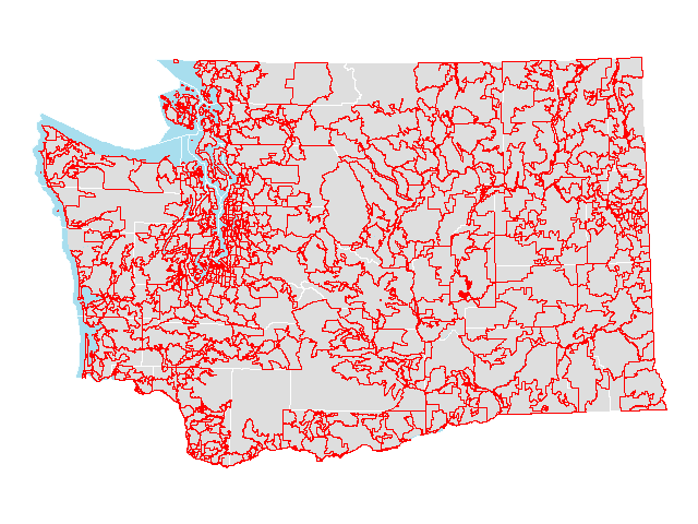 |
||
| ZIP Code Tabulation Areas (county parts) |  |
Supplemental information
Reference information
- OFM’s standard projection and datum for geospatial data layers is State Plane Washington South, North American Datum 1983 HARN in units of US feet (EPSG: 2927).
- Geographic codes for Washington
Geographic crosswalks
- Census tract relationship files: 1990-2000 | 2000-2010
- Congressional district (by county, city, city part, school district, and ZIP Code tabulation area): 2002 | 2012
- Legislative district (by county, city, city part, school district, and ZIP Code tabulation area): 2002 | 2012
- County (by census place and tract): 2010
GIS map products
- Census reference maps: 2000 | 2010 | 2020
- Federal statistical area maps (metropolitan statistical areas, micropolitan statistical areas, combined statistical areas, metropolitan divisions): October 2018