


Small area estimates program
Small Area Estimates Program (SAEP) estimates are meant to provide a consistent set of small area population and housing data for statewide applications. SAEP estimates are generated for census areas and other areas of statewide significance.
Before using the SAEP estimates, please see the SAEP User Guide to gain a better understanding of the data and methods behind the estimates as well as limitations in their use. For more specific information about the 2024 data release, please see the User Notes and Errata document.
Please note that SAEP estimates are NOT the official state population estimates used for revenue distribution and program administration related to cities and counties. Users interested in city and county estimates should see the state’s official April 1 population estimates program.
Estimates for 2020 census areas
| Summary Level | Table | GIS Shapefile |
KML File |
Preview | Metadata |
|---|---|---|---|---|---|
| Census blocks | – |  |
|||
| Census block groups |  |
||||
| Census designated places | 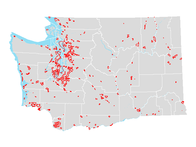 |
||||
| Census tracts | 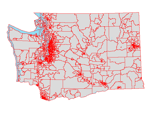 |
||||
| Congressional districts [2022] | 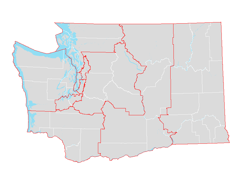 |
||||
| Congressional districts [2022] (county parts) | – | 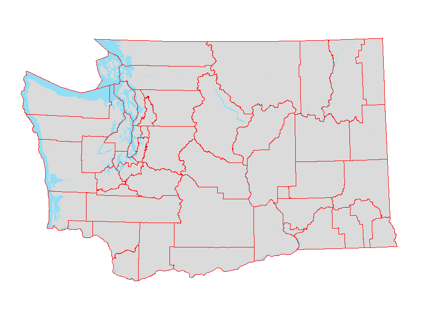 |
|||
| Counties | – |  |
|||
| Public Use Microdata Areas (PUMA) | 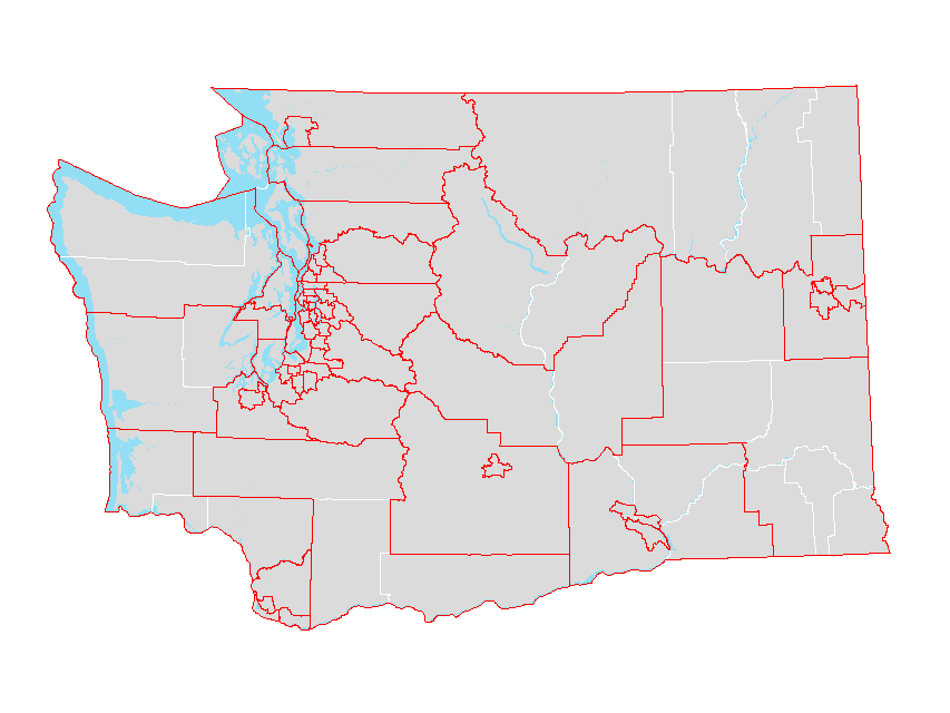 |
||||
| School districts | 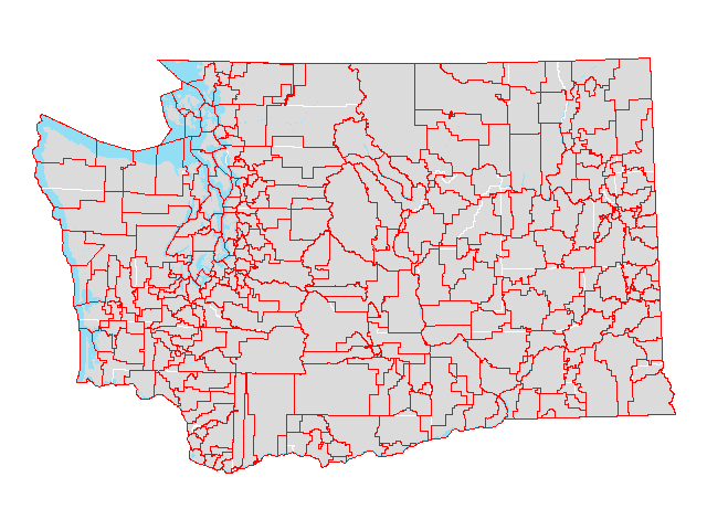 |
||||
| School districts (county parts) | – | 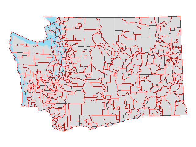 |
|||
| State | – | 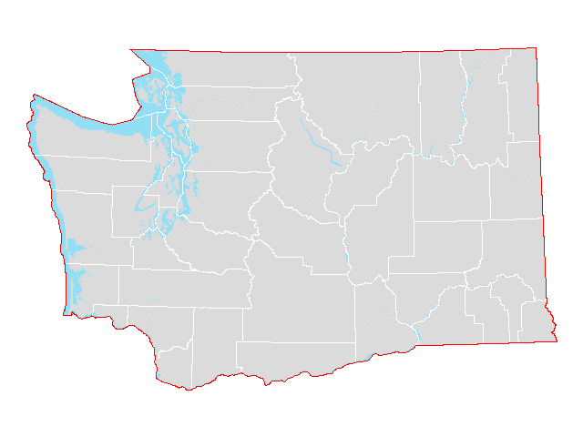 |
|||
| State legislative districts [2024] | 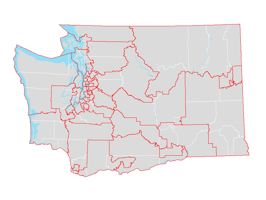 |
||||
| State legislative districts [2024] (county parts) | 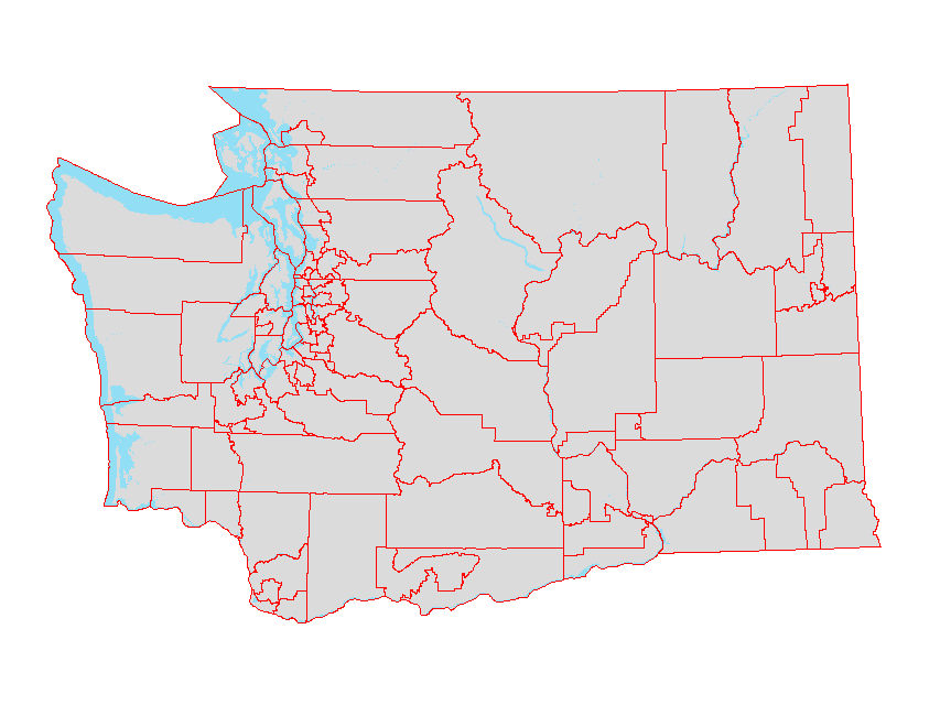 |
||||
| State legislative districts [2022] | 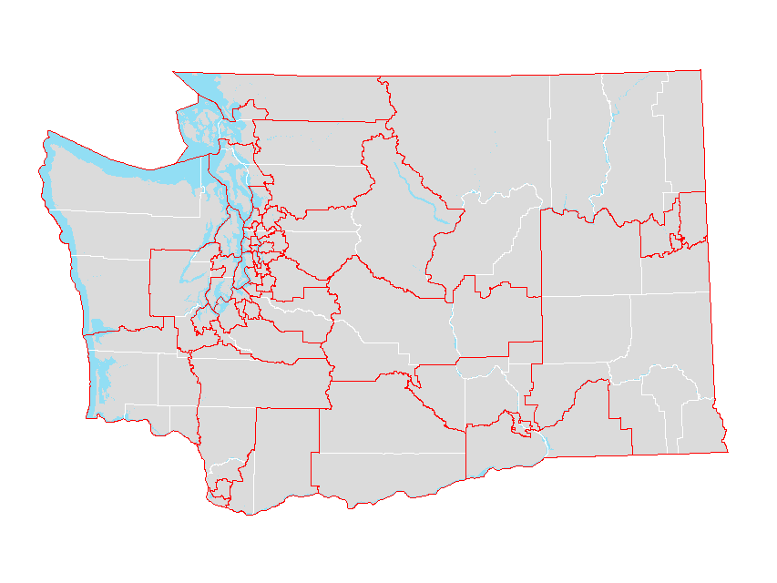 |
||||
| State legislative districts [2022] (county parts) | – | 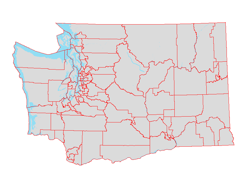 |
|||
| Tribal areas | 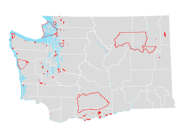 |
||||
| Urban Area |  |
||||
| Urban Area (county parts) | – |  |
|||
| Urban growth areas |  |
||||
| Urban growth areas (county parts) | – | 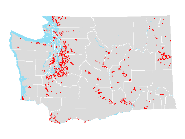 |
|||
| Voting Precincts [2020] | – | 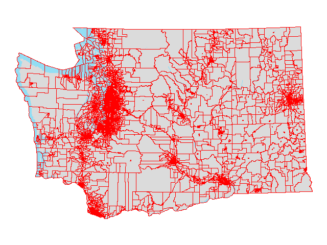 |
|||
| ZIP Code Tabulation Areas | 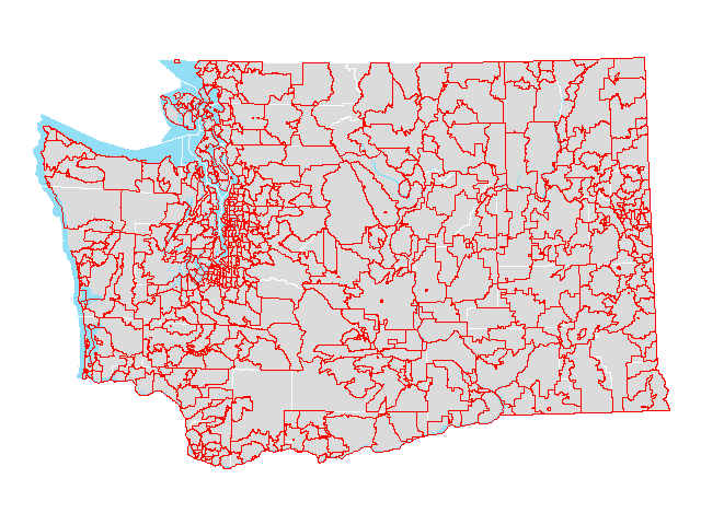 |
||||
| ZIP Code Tabulation Areas (county parts) | – | 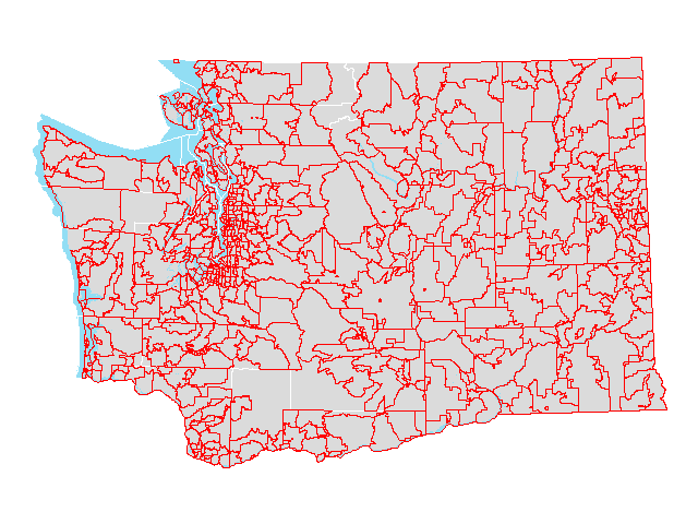 |
Estimates for other areas
| Summary Level | Table | GIS Shapefile |
KML File |
Preview | Metadata |
|---|---|---|---|---|---|
| Fire protection districts (unincorporated) | – | – | |||
| Public hospital districts (county parts), DOR | – | – | |||
| Selected islands (county parts) | 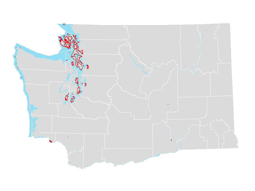 |
||||
| Water Resource Inventory Areas, ECY | – | 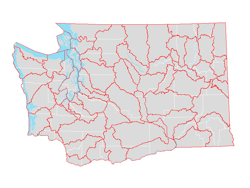 |
Note: To improve performance, the KML files have simplified polygon geometry.
Special area population estimates
OFM produces annual population estimates for ‘special areas’ required by statue. Special areas include highway urban areas, public transportation benefit areas, and the thermal electric generating facility area. The special area estimates are based on data produced by the Small Area Estimate Program using GIS-based spatial interpolation procedures.
Highway urban area population estimates
OFM produces annual population estimates for Highway Urban Areas (HUAs) as defined by the Washington State Department of Transportation in cooperation with the Federal Highway Administration and input from local governments and metropolitan planning organizations. HUAs include all areas defined as urbanized by the Census bureau but can and usually do include areas beyond the Census Bureau defined boundaries.
HUA Fall 2025 Population Estimates PDF | Excel
Public transportation benefit area population estimates
OFM produces annual population estimates for Public Transportation Benefit Areas (PTBA) as well as Unincorporated Public Transportation Benefit Areas as defined by Washington State Department of Revenue. PTBAs are Washington State transit areas established by public vote. Population estimates are produced in accordance with RCW 36.57A.010.
PTBA Fall 2025 Population Estimates PDF | Excel
Regional transit authority population estimates
OFM Produces quarterly population estimates for the parts of King, Pierce and Snohomish counties that lie inside and outside of the Regional Transit Authority (RTA) sales tax area. The RTA area is defined by the Washington State Department of Revenue and is updated quarterly. Population estimates are used for the quarterly distribution of tax proceeds in accordance with RCW 43.79.520. RTA estimates will be updated every March, June, September and December.
RTA Quarterly Population Estimates PDF | Excel
Thermal electric generating facility area population estimates
OFM produces annual population estimates for incorporated places, unincorporated areas, fire protection districts, and library districts within the Thermal Electric Generating Facility Area (TEGFA). This boundary is defined as the area lying within thirty-five miles of the most commonly used entrance of the Columbia Generating Station (formerly known as the Hanford Nuclear Reservation) and is south of the southern boundary of township fifteen north. Population estimates are used for the annual distribution of tax proceeds in accordance with RCW 54.28.055. These taxes are dispersed as part of the Public Utility District Privilege Tax.